- Refreshment stop
- Circular route
- free of charge / accessible at any time
Amecke circular hiking trail
Tour starting point:
SGV square in Amecke
Tour destination point:
SGV square in Amecke
Properties:
Additional Information
Schloss Haus AmeckeGolf at Schloss Haus Amecke with family golf course
Category
regionaler WanderwegLength
9.3 kmDuration
2:30 hElevation ascent
110 mElevation descent
115 mLowest point
281 mHighest point
394 mCondition
Difficulty
Information
Directions
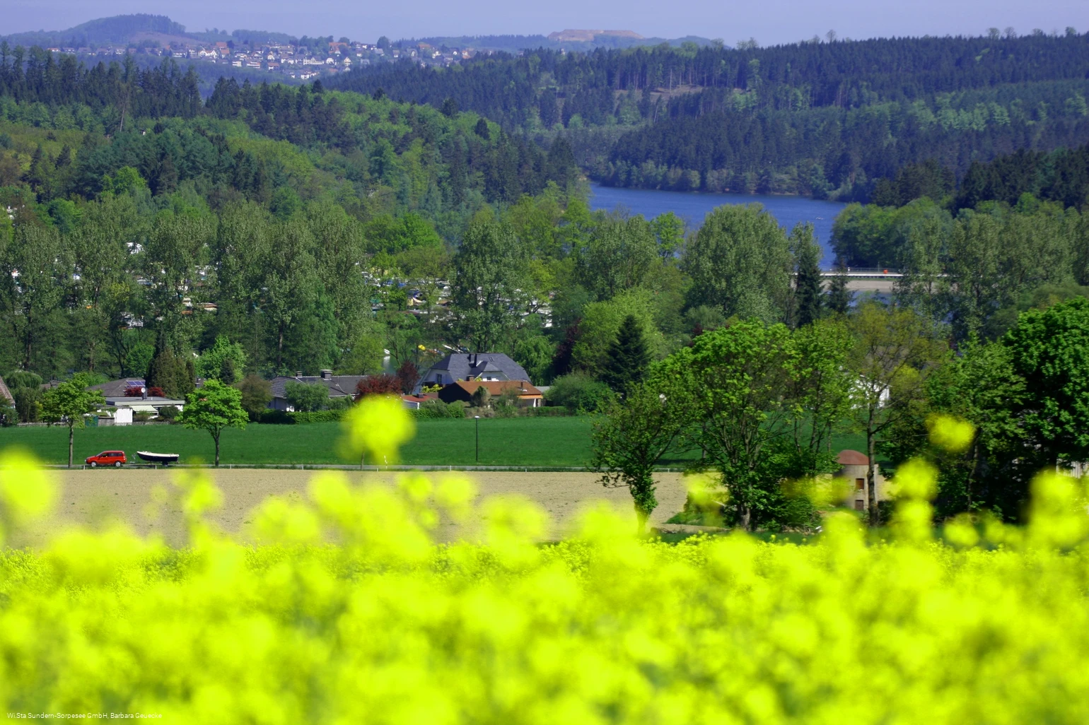
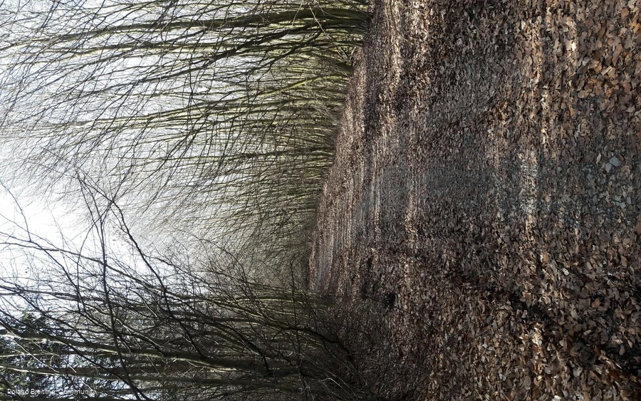
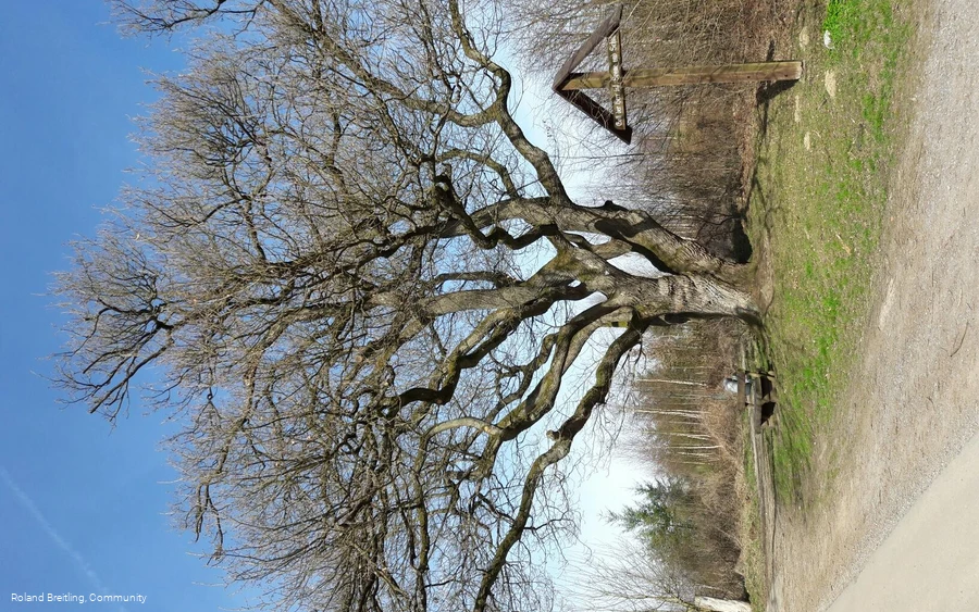
The starting point of the hike is the SGV square in Amecke, opposite the church. Parking is available at the fire station or on the Airlebnisweg (subject to a charge). The continuous marking is Am2. First follow the road 'Im Kaltenborn' uphill and then turn right at the edge of the forest. After 1.5 km along the foot of the Kamberg you reach the natural monument 'Krause Eiche', a really quaint, old, tousled oak tree. Benches invite you to take your first rest here. The route continues up to the Höhweg, where you also meet the Sauerland-Waldroute. Up here, on the heights between Sundern and Sorpesee, you can see the effects of Hurricane Kyrill in 2007 in a particularly impressive way. If you look back, you will have a great view of the Sauerland Siebengebirge around Stockum. After just under 2 km, you leave the Waldroute again and the path now turns left and downhill onto the middle slope of the Sorpetalsperre dam. Here you keep left again and take a leisurely turn, always with a view of the Sorpesee, back to Amecke. The last two kilometers of the hiking route run directly along the Sorpesee and the new "Airlebnisweg" along the reservoir.
Equipment
Author Tip
Genießen Sie auch den "Airlebnisweg" am Vorbecken, hier kann man herrlich entspannen.
Maps
How to get there
2) From the direction of Kassel via the A 44 Kassel - Dortmund to the Werl junction, then continue as described under variant 1. 3)
From Cologne via the A 4 Cologne - Olpe to the Olpe junction, take the A 45 Dortmund - Frankfurt in the direction of Dortmund to the Olpe exit, via Attendorn, Finnentrop, Rönkhausen to Allendorf, at the end of the town turn left to Amecke


