- Nature highlight
- Circular route
- free of charge / accessible at any time
D2 - Hike around Diemelsee-Deisfeld past the bird trail
Tour starting point:
Hikers' parking lot "Am Steinpfahl"
Tour destination point:
Hikers' parking lot "Am Steinpfahl"
Properties:
Category
regionaler WanderwegLength
6.4 kmDuration
1:50 hElevation ascent
179 mElevation descent
180 mLowest point
419 mHighest point
569 mCondition
Difficulty
Information
Directions
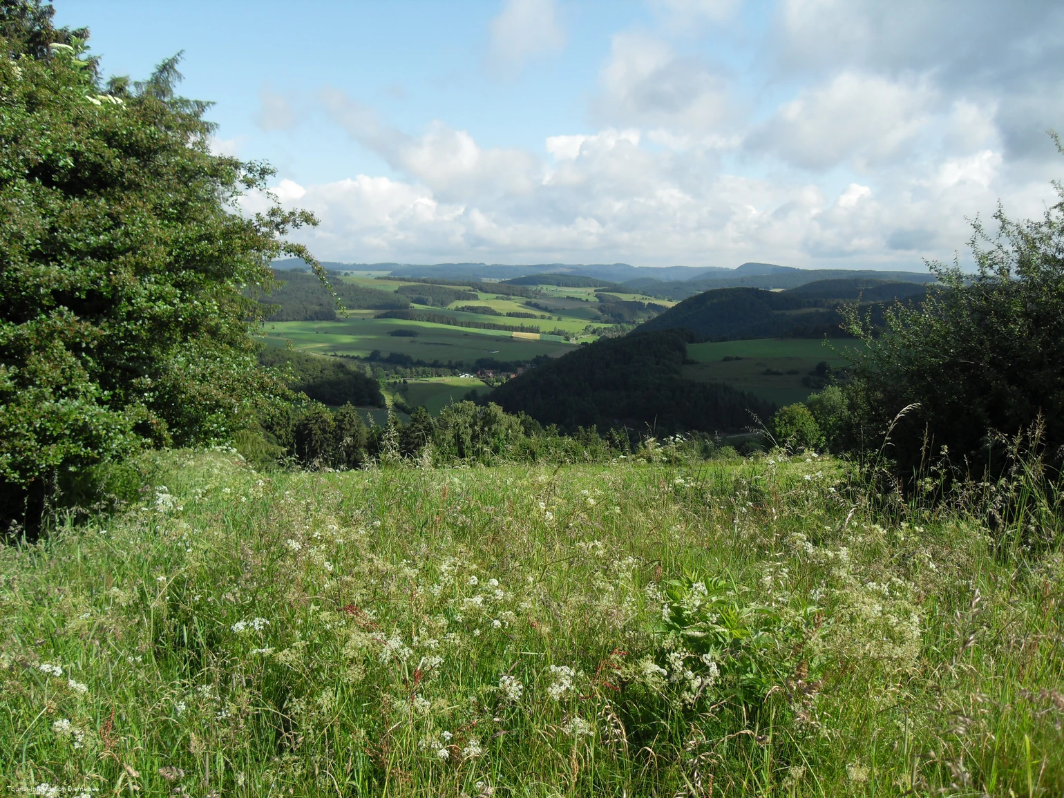
From the "Am Steinpfahl" hiking parking lot, follow the Diemelsteig trail in an easterly direction for quite some time. At the crossroads, turn right into the center of the village, walk straight ahead for a short distance and then turn left again at the next crossroads. At milepost "36" of the Diemelsteig trail, follow the Diemelsteig trail to the right downhill past fields and meadows into the "Hammesbeutel". Many exciting and interesting descriptions of the local birds await you on the following bird trail, at the end diagonally to the right. Shortly after milepost "36" of the Diemelsteig trail, you have reached the highest point. You can see far into the valley, to Needar and even as far as the Georg-Viktor tower in Korbach-Goldhausen. After another 800m or so, leave the Diemelsteig and turn right. About 200m later, the Uplandsteig joins the D2. At kilometer 25 of the Uplandsteig, follow the Uplandsteig uphill to the right. You can take a break at the refuge above Eimelrod with a view of Eimelrod and the Upland mountains. Shortly after the refuge with a view of Hemmighausen and the Dommel, turn right and follow the Uplandsteig down through the forest. About 200m after kilometer 24 of the Uplandsteig, leave the Uplandsteig and turn right. Now it goes downhill. After 800m, turn right and walk downhill to Deisfeld. From the village 200m on the Diemelsteig in a southerly direction, turn left twice to reach the hiking parking lot "Am Steinpfahl".
Public transit
How to get there
From the east: Take direction Kassel, then A44 Dortmund exit Marsberg direction Diemelsee
From the west: Direction Dortmund, A44 direction Kassel, exit Marsberg direction Diemelsee
From the south: Munich in the direction of Nuremberg, Kassel and onto the A44 in the direction of Dortmund, Marsberg exit and in the direction of Diemelsee
